

The Red Arrow Track is a short, steep walking loop up Mount Whitfield in Cairns, reached from Collins Avenue beside the Cairns Botanic Gardens. The circuit is about 1.3 to 1.5km and takes around an hour. Its lookout overlooks Cairns Airport and its runway, so you can watch planes take off with Trinity Bay behind them. It’s free, and the 50-cent route 131 bus stops at the gardens. The full circuit reopened in March 2026 after a council upgrade.
Start
Collins Avenue, Edge Hill
Next to Cairns Botanic Gardens
Distance
1.3 to 1.5km loop
About 1 hour, steep stone steps
Grade
3, fitness needed
Hot and humid; carry water
Highlight
Airport runway lookout
Planes taking off below you
Getting there
Route 131 bus, 50 cents
Free entry to the track and gardens
I heard the jet a full second before the trees opened up enough to see it. I hadn’t gone looking for a plane-spotting trail. I’d searched for an easy hike in Cairns with good views, and the Red Arrow Track came up as one option among many. What the search results didn’t prepare me for was that the trail starts beside the Cairns Botanic Gardens, a short bus ride from the city centre, and ends at a lookout with a runway laid out below like a diagram.
Update since my visit: when I walked this in January 2026, part of the Red Arrow had a signposted closure for construction, so I switched to the Yellow Arrow Track rather than backtrack. That work was Cairns Regional Council’s $1.2 million renewal: new natural stone stairs on the eastern side, new pedestrian bridges, resurfacing, and new seats and lookout shelters. The full circuit reopened in March 2026. Trail work happens from time to time, so check the council’s notices before you go.
Getting there without a car

Most of the well-known things to do around Cairns, like Cape Tribulation, the Atherton Tablelands and Kuranda, take a full day, a tour booking or a hire car. The Red Arrow Track doesn’t. The trailhead is on Collins Avenue in Edge Hill, a few kilometres from the CBD, and route 131 (City to Raintrees via Whitfield) stops at Collins Ave at Cairns Botanic Gardens, the closest stop to the trailhead. It runs roughly hourly from the city on weekdays, and weekends and public holidays can be less frequent. The fare is the flat 50 cents that applies on every Cairns bus, paid in cash or with a contactless card. Check the journey planner for the departure that suits you. No car, no tour, no half-day commitment: you can decide to do it on a free morning.
Cairns Botanic Gardens: the easy way in

The gardens themselves are free and deserve a visit of their own: tropical plant collections, Centenary Lakes and a rainforest boardwalk before you’ve even reached the trailhead. The Red Arrow Track starts right behind them. There’s a second trailhead near the Tanks Arts Centre if you’d rather start there, but I went in past the Botanic Gardens sign, which also takes you past a strangler fig with roots taller than I am before you’ve reached the trail proper.
Into the bamboo

The first stretch climbs through a rainforest gully, and the bamboo section is the part every photo of this trail seems to feature: it’s dense enough that the path tunnels through it. A ground bird crossed the trail ahead of me here, a brush-turkey by the look of it, black-feathered with a bare red head, more curious than bothered by having company.

The lookout, and the plane

The Red Arrow lookout is the reward for the climb. Cairns Airport sits directly below, close enough to watch the full sequence of an aircraft taxiing out and lifting off. I was lucky enough to catch what looked like a Qantas jet climbing out over the water with the ranges behind it while I had the camera up.

Pro tip: if plane-spotting is the goal, give yourself time to wait rather than treating the lookout as a five-minute stop. Cairns Airport has steady daytime traffic, but you’re at the mercy of the schedule. There’s a water refill point and free toilets at the Botanic Gardens visitor centre near the start, but nothing once you’re on the climb, so use both before you head up, and aim to finish well before dark.
Crossing to the Yellow Arrow

This is where my visit stopped following the standard loop. With the closure ahead and time tighter than I’d planned for, I crossed over at a signed junction with the Yellow Arrow Track rather than turning back the way I came.

This junction has a lookout with a similar view to the one I’d just left: the airport runway, and beyond it Trinity Bay opening out to the coast, with the ranges running along the far side of the water. The Yellow Arrow’s street-level trailhead is actually on Aeroglen Drive, on the opposite side of the park, but the tracks connect up on the range, which is how I reached it from Red Arrow.
If you’re short on time, it helps to know that the Mount Whitfield network isn’t a single there-and-back trail. The Red, Blue, Yellow and Green Arrow tracks connect, so you can make a visit shorter or longer than the standard circuit without missing the main lookout views. The Red Arrow is the short, popular option; the Blue Arrow is a much longer, rougher 6km return walk with steep climbs, for fit walkers with a few spare hours.
Back down through the gardens

The descent brought me back past the Botanic Gardens visitor centre itself, an odd mirrored building that looks more like it belongs on a design blog than beside a rainforest car park. It’s a reasonable spot to sit down before heading back into the city.

Start to finish, gardens gate to the visitor centre café, my visit ran just over an hour, including the wait for that plane. Without a wait for a takeoff or a drink stop, most people cover the Red Arrow loop in 40 minutes to an hour.

I didn’t go looking for a plane-spotting trail, and that’s probably why it stuck with me. The Red Arrow Track was never going to be the headline reason to visit Cairns, but it turned into one of the easiest half-days of the whole trip: a bus ride, a walk through bamboo, and a lookout I’d never have found without a search that could have led anywhere. If you’re in Cairns with a spare morning and no car, let it be that search.

Continue exploring Cairns
If this was your first stop in the city, here’s where I’d send you next.
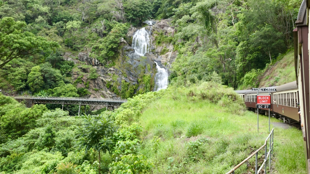 Cairns Itinerary
 Cairns City Centre Guide
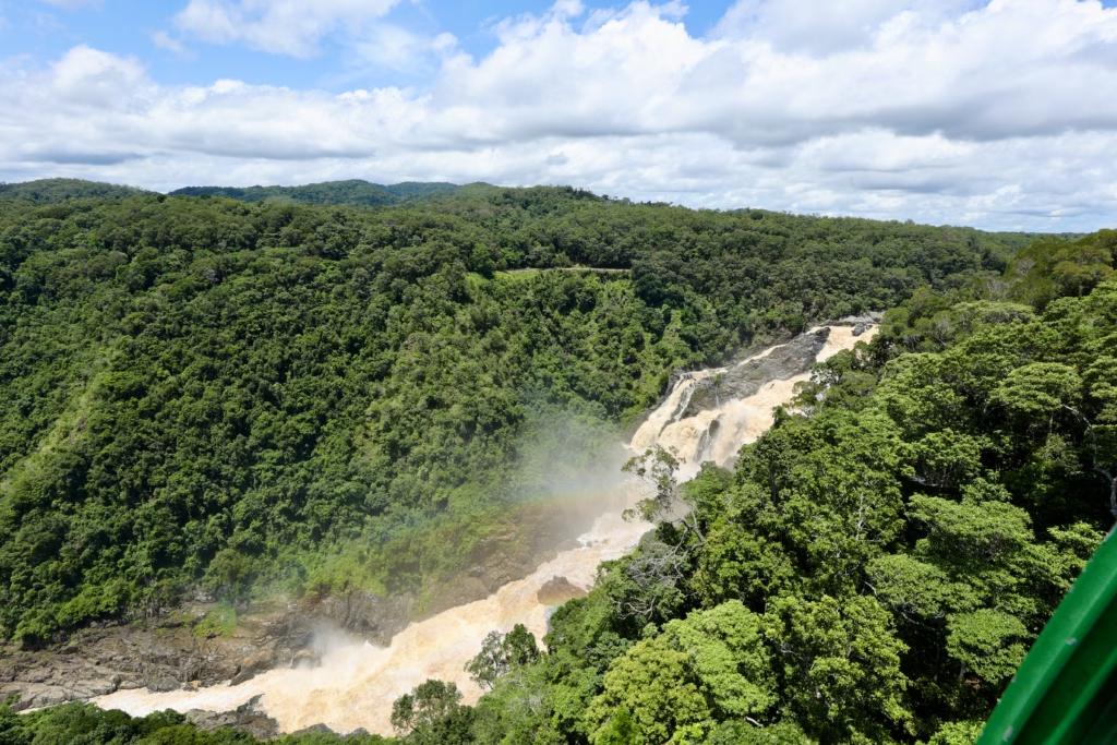 Skyrail and Kuranda Scenic Railway
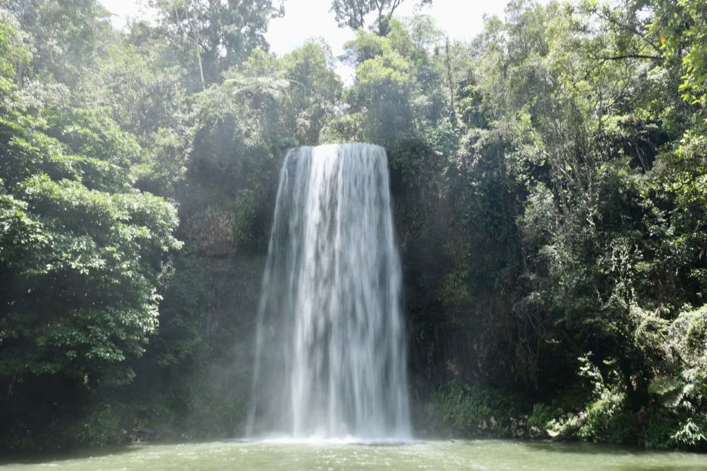 Millaa Millaa Falls and the Atherton Tablelands
 Where to Stay in Cairns
 Palm Cove Beach
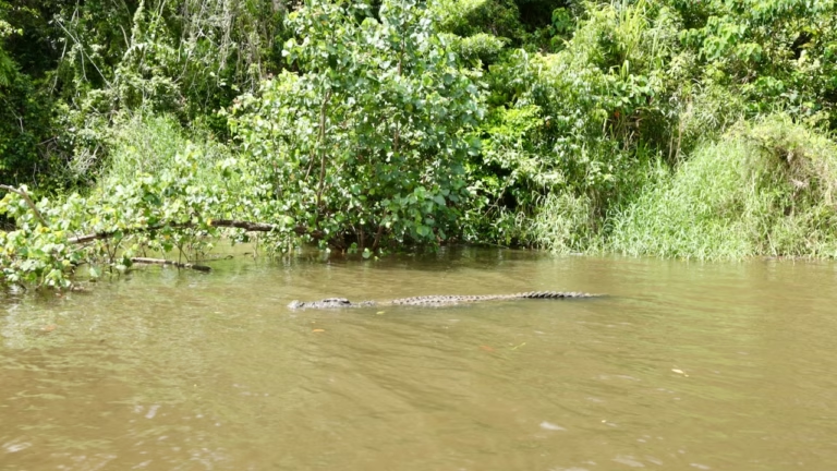 Cape Tribulation Day Tour
FAQ
Where does the Red Arrow Track start?
It is reached from Collins Avenue in Edge Hill, beside the Cairns Botanic Gardens, a few kilometres from the city centre. There is a second entry near the Tanks Arts Centre.
How long is the Red Arrow Track?
About 1.3 to 1.5km as a loop, and around an hour for most walkers. The trailhead signs and brochure say 1.5km; the council said 1.3km when it reopened the upgraded track in March 2026.
Can you see planes from the Red Arrow Track?
Yes. The lookout sits directly above the Cairns Airport runway, so you can watch planes taxi and take off. Allow some time, as you depend on the flight schedule.
Is the Red Arrow Track hard?
It is short but steep, with lots of stone steps, and it is graded 3: no experience needed, but you need a general level of fitness. In the Cairns heat it feels harder than the distance suggests.
Is the Red Arrow Track open?
Yes. It reopened in March 2026 after a $1.2 million council upgrade with new stone stairs, bridges and lookout shelters. Check council notices for any later closures.
When is the best time to walk the Red Arrow Track?
Early morning or late afternoon, when it is cooler. There is no water on the track, so fill up at the Botanic Gardens visitor centre before you start.
Is the Red Arrow Track free?
Yes. Both the track and the Cairns Botanic Gardens are free to enter.
How do I get to the Red Arrow Track by bus?
Take route 131 (City to Raintrees via Whitfield) to the Collins Ave at Cairns Botanic Gardens stop, then walk to the trailhead. It runs roughly hourly on weekdays and costs a flat 50 cents, paid in cash or by contactless card.


Leave a reply